Snowfall is expected over the northern and high-lying areas of the Eastern Cape,the South African Weather Service has warned.
X/@SANRAL_za
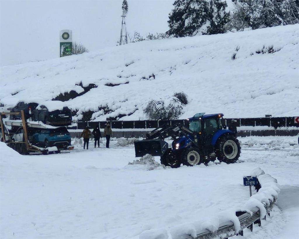
Snowfall is expected over the northern and high-lying areas of the Eastern Cape,the South African Weather Service (SAWS) has warned.
Light to moderate snowfall is expected over the southern high ground of the Northern Cape.
Damaging winds and waves are expected between Alexander Bay,North West and Kosi Bay in KwaZulu-Natal.
Impact-based warnings
ADVERTISEMENT
Yellow Level 2 warning: Damaging winds and waves,resulting in difficulty in navigation at sea and localised disruptions to small harbours and ports,are expected between Alexander Bay and Kosi Bay in KwaZulu-Natal.
Yellow Level 2 warning: Disruptive snow resulting in icy roads/railway lines and isolated loss of vulnerable livestock and crops is expected in places over the northern high ground of the Eastern Cape.
Yellow Level 2 warning: Damaging winds resulting in localised damage to settlements and localised power and communication interruptions are expected along the coast and adjacent interior of the Eastern Cape and extreme eastern parts of the Free State.
In the SAWS’ colour-coded weather warning system,yellow indicates a moderate risk of impact that requires caution and awareness.
ADVERTISEMENT
SAWS uses the numbers to indicate the likelihood of weather-based impacts occurring. Level 2 is high.
Advisories
Wet,windy and cold to very cold conditions are expected over the south east of Northern Cape,Free State and the south of North West province and in places of the Eastern Cape interior. There is also a possibility of light snow along the Lesotho border and northern high grounds of the Eastern Cape.
The public and small stock farmers are advised to provide proper shelter,dry bedding,and energy-rich feed to protect their animals against these conditions.
The weather in your province
Gauteng: Fine and cold weather.
Pretoria: 11°C — 17°C
Johannesburg: 6°C — 13°C
Vereeniging: 6°C — 13°C
Mpumalanga: Partly cloudy in the morning,becoming fine and cool,with warmer conditions in some Lowveld areas.
Mbombela: 14°C — 22°C
Ermelo: 11°C — 13°C
Emalahleni: 11°C — 24°C
Standerton: 14°C — 22°C
Skukuza: 14°C — 28°C
Limpopo: Morning clouds clearing to fine and cool to warm weather later in the day.
Polokwane: 10°C — 24°C
Phalaborwa: 19°C — 29°C
Tzaneen: 15°C — 25°C
Musina: 17°C — 30°C
Lephalale: 16°C — 21°C
Mokopane: 15°C — 21°C
North West: Windy and partly cloudy conditions with cold temperatures; fine weather expected in western regions.
Klerksdorp: 3°C — 13°C
Potchefstroom: 4°C — 13°C
Mahikeng: 4°C — 13°C
Rustenburg: 6°C — 15°C
Vryburg: 3°C — 13°C
Free State: Cold and windy with partly cloudy skies and isolated showers,except in the extreme northwest. These conditions will clear,becoming fine by late afternoon.
Bloemfontein: 3°C — 12°C
Welkom: 4°C — 13°C
Bethlehem: 1°C — 10°C
Northern Cape: Partly cloudy and windy,with isolated showers,except in the northern regions. Snowfall is expected on the southern high ground. The west will remain cloudy with mild coastal winds from the southwest.
Upington: 4°C — 13°C
Kimberley: 3°C — 13°C
De Aar: 3°C — 12°C
Alexander Bay: 12°C — 19°C
Springbok: 6°C — 12°C
Calvinia: 4°C — 12°C
Sutherland: 1°C — 7°C
Western Cape: Cloudy and cold,with pockets of cool temperatures along the south coast. Isolated showers should be expected. Fresh to strong westerly winds will blow along the coast,except for light north-westerly winds in the west.
Cape Town: 12°C — 14°C
Vredendal: 11°C — 15°C
Riversdale: 8°C — 17°C
George: 9°C — 17°C
Worcester: 8°C — 13°C
Beaufort West: 9°C — 13°C
Oudtshoorn: 7°C — 16°C
Western half of the Eastern Cape: Cloudy,windy,and cold conditions with scattered showers and rain. The northern high ground might experience snow and very cold temperatures. Coastal winds will be fresh to strong westerly,reaching gale force east of Oyster Bay.
ADVERTISEMENT
Eastern half of the Eastern Cape: Cloudy and cold to very cold,with scattered showers and potential snow over high-lying areas. Some regions are likely to face gale-force south-westerly winds along the coast.
Gqeberha: 13°C — 18°C
Makhanda: 9°C — 15°C
Cradock: 5°C — 11°C
Graaff-Reinet: 5°C — 13°C
East London: 12°C — 19°C
Port St Johns: 15°C — 18°C
Umtata: 9°C — 15°C
Komani: 5°C — 12°C
Qonce: 9°C — 16°C
KwaZulu-Natal: Initially partly cloudy and cool to warm,transitioning to fine by late afternoon. Isolated showers and rain are likely in southern parts. Strong southerly to south-westerly coastal winds reaching gale force in places.
Durban: 18°C — 22°C
Richards Bay: 19°C — 22°C
Pietermaritzburg: 13°C — 17°C
Ladysmith: 13°C — 19°C
*This weather report was written with the support of Toqan AI.
United News - unews.co.za